Not only sea: Raccuja-Floresta-Montalbano Elicona
Dettaglio
The Nebrodi area is the perfect place if you’re searching for mountain villages, forests, crystal-clear waters and the ability to create a cosy wood fire.
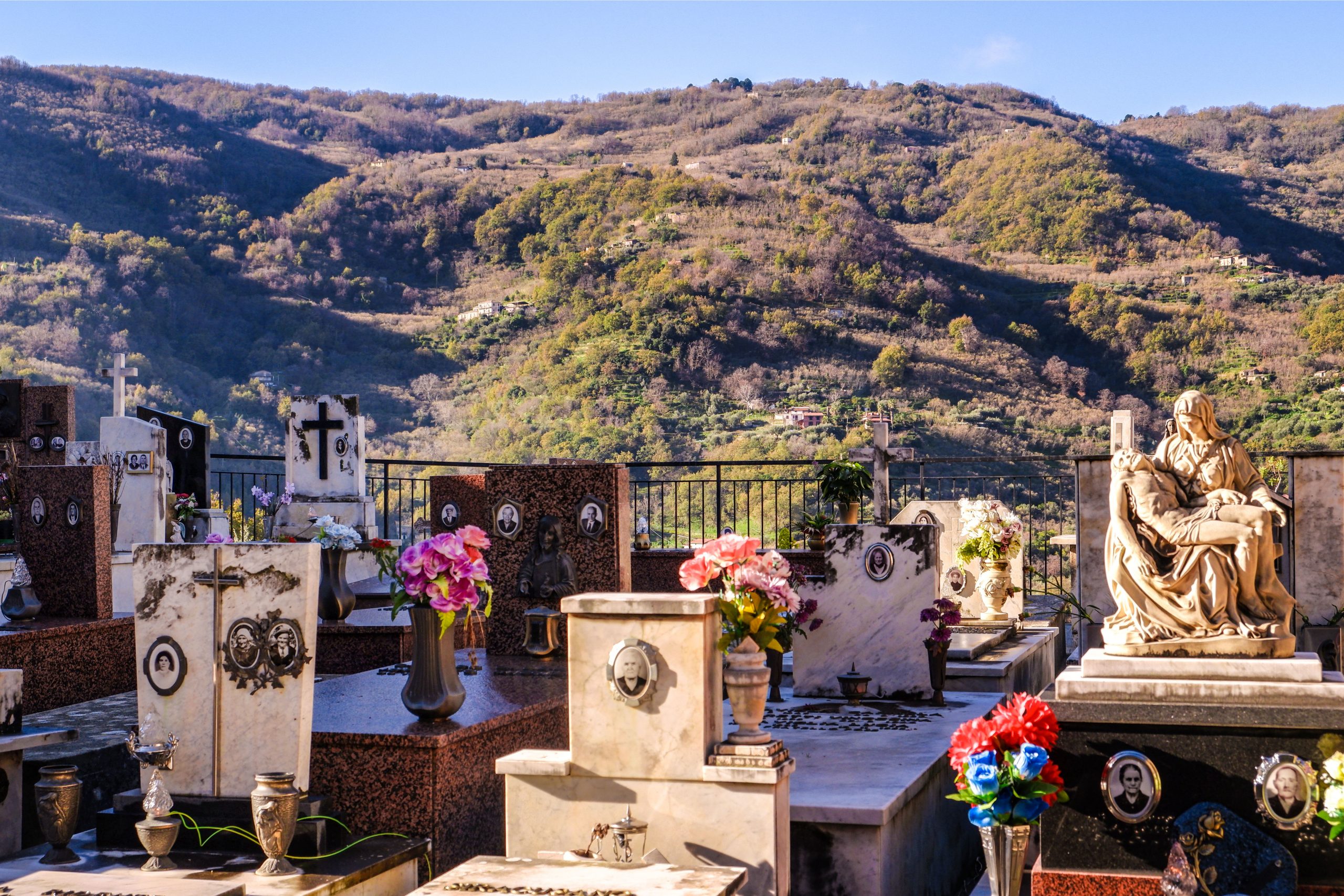
Let’s start our tour from Raccuja: a wonderful Norman-era village (11th-12th century). It is nestled on the slopes of Mount Castegnerazza, surrounded by hazelnut and olive trees. Entering the village, you will immediately come across the Mother Church, which houses large marble statues (San Sebastiano by Bonanno, Santa Maria del Gesù – author unknown – and the Annunciation group by Mazzolo). You will then reach Piazza XXV Aprile, surrounded by 17th-century buildings and enriched by a precious 18th-century staircase entirely made of sandstone.
Let’s now move to the lower districts and get lost among the old shops and narrow medieval streets: from here you can see the Church of San Pietro. It was built around the old Arab tower that today is the bell tower of the Church. As we go inside you can admire the coexistence of two architectural styles: Romanesque and Gothic.

Heading up to the highest part of the town, you will be impressed by the elegance of Castello Branciforti: a manor house founded in Norman times upon other pre-existing structures. The castle has been completely restored and today it houses the civic museum, the historical archive and the municipal library.
You can’t leave Raccuja without having tasted the typical maccheroni, threadlike egg pasta seasoned with pork sauce and salted ricotta cheese ( this pasta is the protagonist of the traditional summer festival); but also the baked salted ricotta cheese, the Nebrodi black pork salami, hazelnuts and mushrooms ( if it’s not the right time of the year, ask for those that have been preserved in oil and vinegar).
From Raccuja, let’s move toward Floresta. While travelling, on the road between the two towns, you will come across a series of ancient tholoi (in local dialect pagghiari ‘mpetra or cubburi). They are rural constructions with a circular plan, their origins are not very clear (here is a detailed map of their presence in the area: https://www.comuneraccuja.it/upload/luoghi-davisitare/tholos/Mappa-Itinerario-delle-THOLOS.pdf). They look like the more famous Peloponnese structures, that’s why some local historians date them back to the first centuries of Greek colonisation in Sicily (8th-7th centuries BC). However, its certain that from the 17th century the tholoi became a refuge for local shepherds.
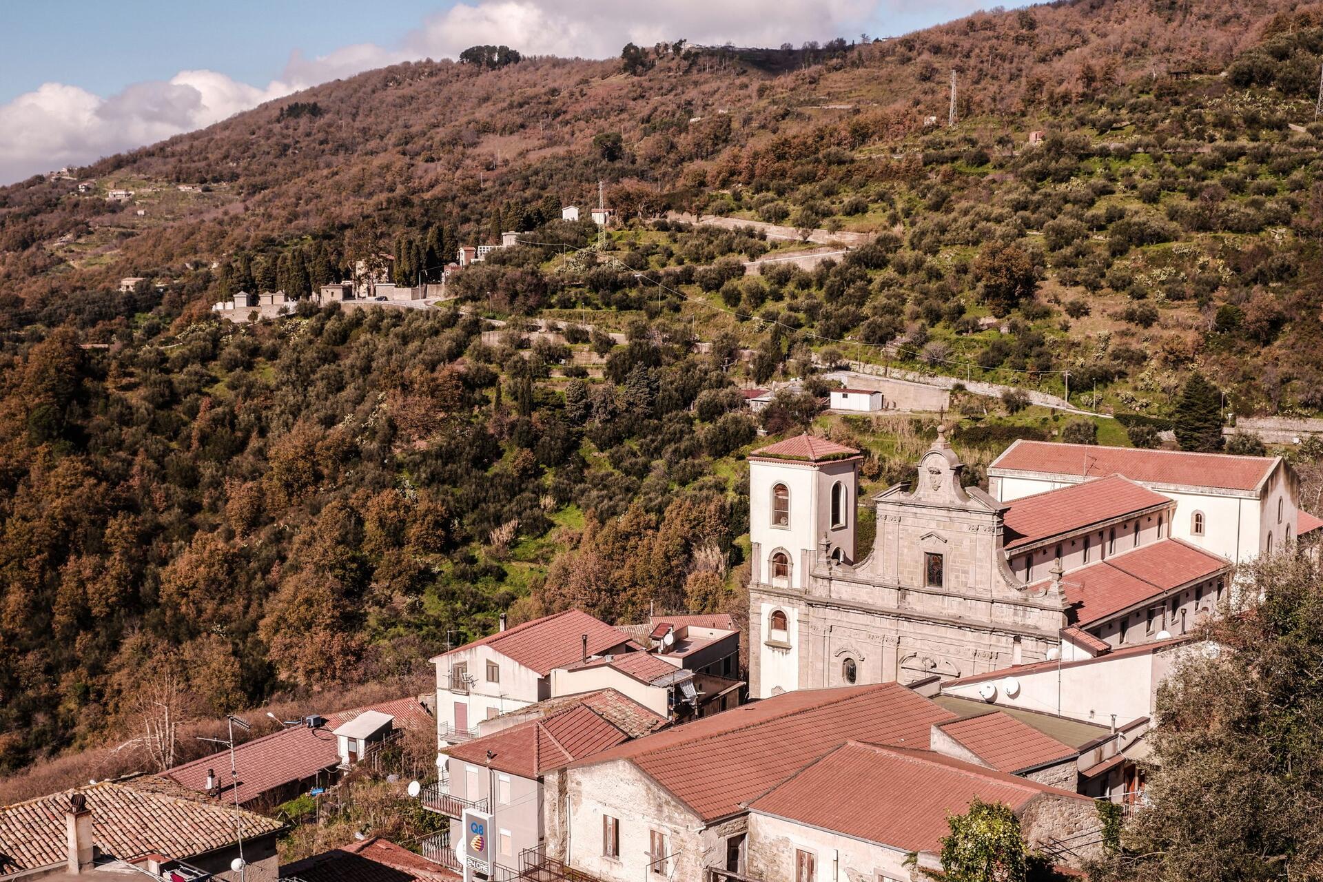
Climbing a little higher up, we arrive at Floresta, which is located at 1275 metres above sea level and is the highest town in Sicily. Floresta looks like a town of the italian Alps. This place offers breath-taking landscapes and unspoilt nature (it is worth visiting Contrada Giuffrè, 7 km from the town, with its oak and maple trees forests. Floresta municipality is included in the Nebrodi Park and also touches the territory of the Alcantara River Park.
The village maintains the feudal structure, with stone houses clustered under the bell towers of the two churches: the Mother Church of Sant’Anna and the one of Sant’Antonio da Padova. Along the streets of the historical centre there are beautiful noble palaces (Palazzo Lando, Palazzo Crimi, Palazzo Municipale and Palazzo Baronale).
Before leaving, do take some time to taste the local products: the cured meats, but above all the Provola of the Nebrodi, a Slow Food presidium.
Now we can set off again towards Montalbano Elicona, the third and best-known village on the itinerary.
Share this content!
LOCATION
DURATION
Distance
Difficulty
Places
Categories
AROUND
Looking for Antonioni
If you love cinema, you have probably dreamed about walking the steps of the movie L'avventura by Michelangelo Antonioni. The [...]
Way of Saint Felix of Nicosia
A trek, a path of psychophysical well-being, a pilgrimage of faith and an experience of "slow tourism". All this is [...]
Tindari Path
The Tindari Path represents one of the oldest and most heartfelt pilgrimages in the region, attracting believers from all over [...]

YOU MAY ALSO BE INTERESTED
The Etna Castles Route
The Via dei Castelli dell'Etna is an itinerary of art, history, beautiful landscapes and traditions. The stars of the route are [...]
Sicily, between history and culture
Let's discover Sicily's unique and evocative locations following the tracks of this Historical and Cultural Itinerary. This guide will give [...]
Sicily in winter and spring: 3 itineraries to discover the island away from the crowds
Winter and spring are ideal seasons to experience a more authentic Sicily, far from the peaks of the high season. [...]
